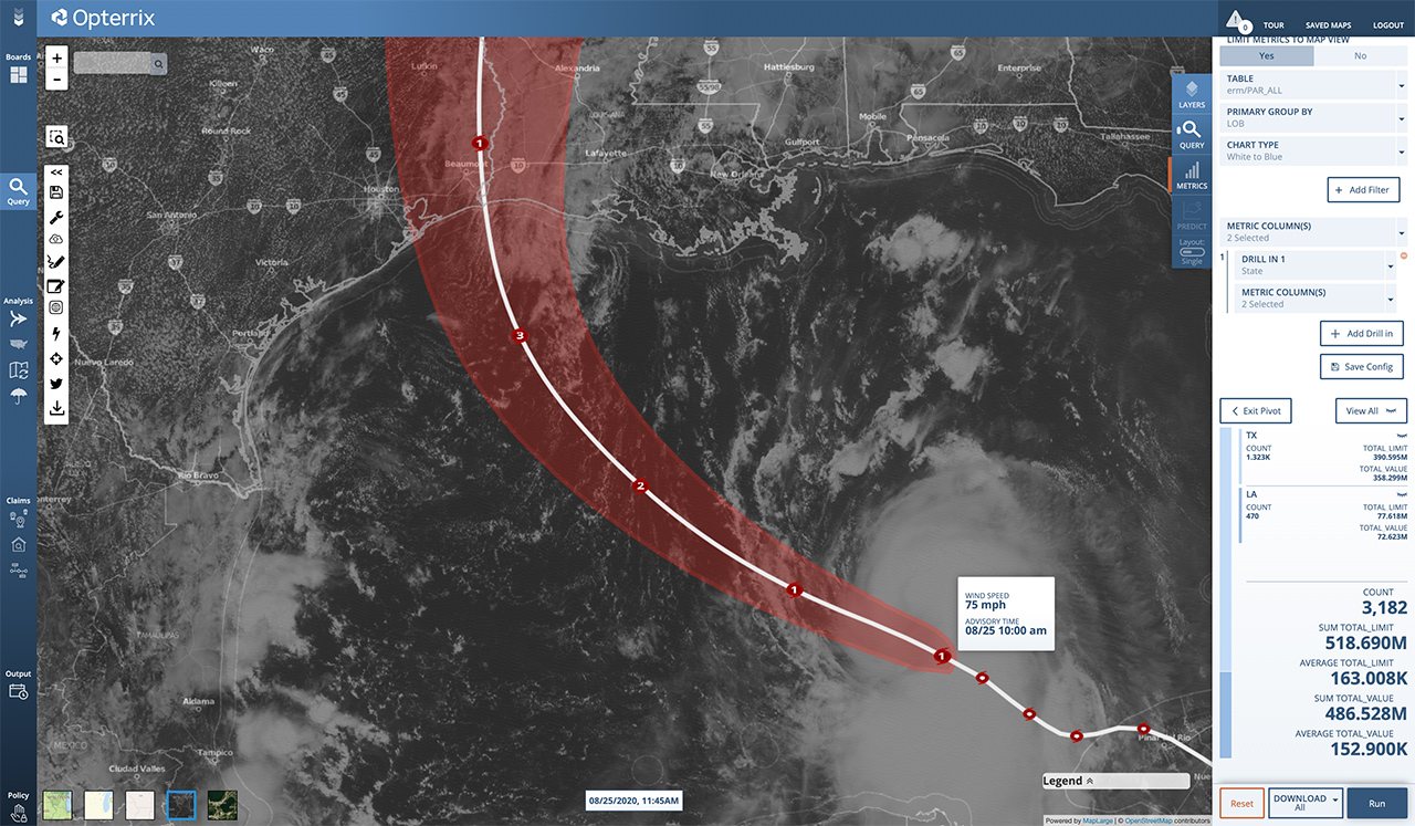
The National Hurricane Center upgraded Tropical Storm Laura’s status to Hurricane Tuesday morning. The storm is forecast to increase in strength over the next 48 hours and make landfall as a Category 3 hurricane, with winds of 115 MPH and a storm surge of up to 11 feet.
“There is a risk of life-threatening storm surge from San Luis Pass, Texas, to Ocean Springs, Mississippi within the next 48 hours,” the NHC stated.
Laura’s landfall is forecast overnight Wednesday into early Thursday morning near the Texas/Louisiana border. It Is expected to remain a tropical storm for at least a day and bring heavy rains to the middle-Mississippi, lower Ohio and Tennessee Valleys.
“The threat of widespread flash and urban flooding, along with small streams overflowing their banks, will be increasing Wednesday night into Thursday from far eastern Texas, across Louisiana, and Arkansas,” the NHC stated.
Some good news is that during the last 12 hours before landfall, the forecast is calling for increasing shear, which may dampen Laura’s strength.

